Look at the sunrise and sunset worldwide in this real-time illustration of the earth’s patterns of sunlight and darkness. The clouds on this image are updated daily with real weather satellite imagery. Refresh your browser in 5-10 minutes for a map update.
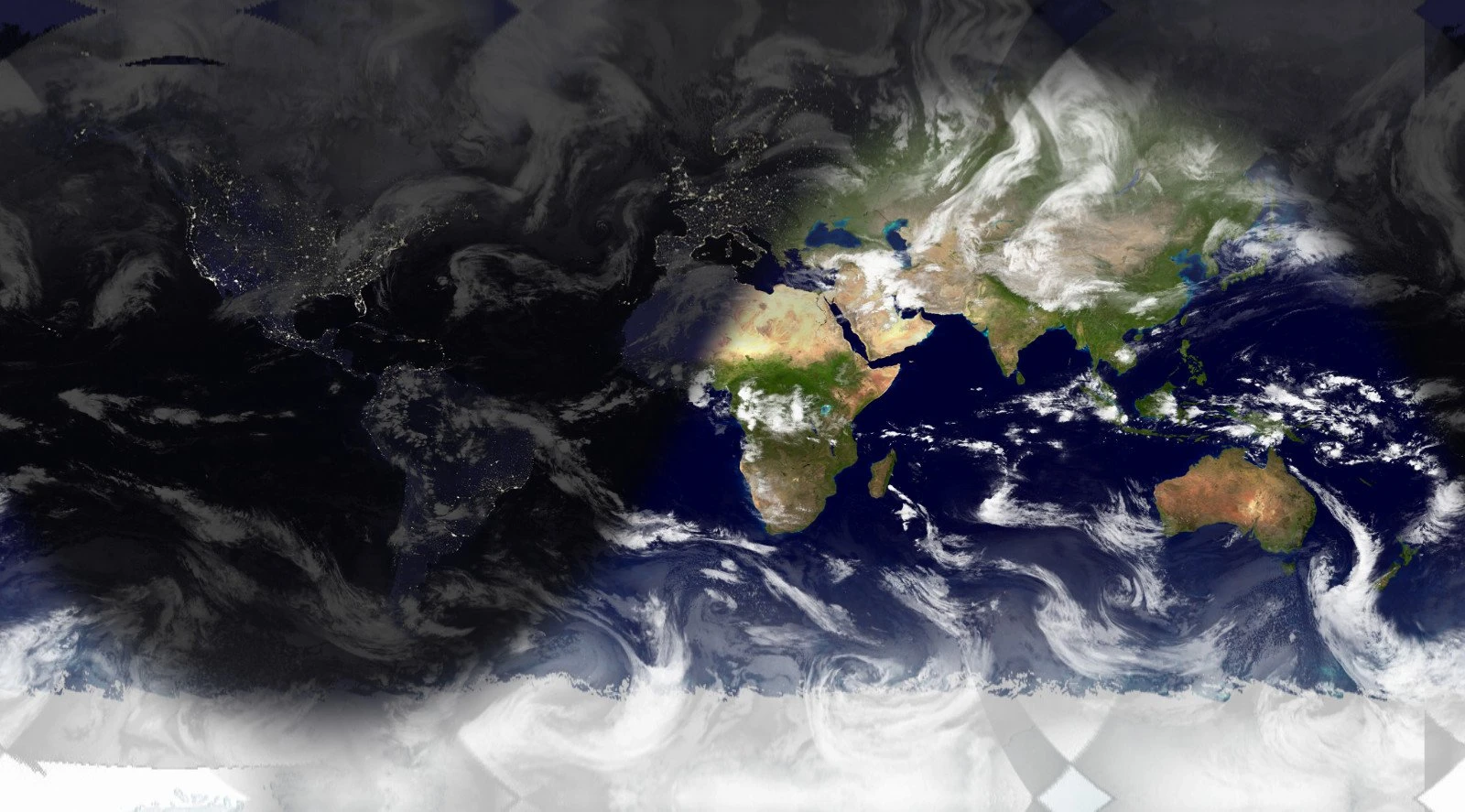
Sunrises and sunsets worldwide are generated in real-time on Google maps.
The globe is an accurate representation of the earth. Provided it is large enough, all parts of the earth’s surface are represented in their actual shape, relative size, and shape. But, one of the most significant problems in making maps is how to draw tho curved surface of the globe onto a flat piece of paper. This is what is called projection.
The map projection is a systematic arrangement of meridians and parallels portraying the globe’s curved surface on a plane. Different types of map projection are used. This is because they are needed for various purposes. A suitable projection for showing countries near the Equator may not be so for showing the lands lying within the Arctic Circle.
The Mercator map projection
The Mercator map projection shown on Google maps above is one way of looking at the spherical earth as a flat map. This map view has been used since the 16th century for navigation; straight lines on this map can be used accurately as compass bearings. Note that the size and shape of continents are distorted.
This projection has been used since the 16th Century (AD 1569). It shows correct directions by straight lines. As a result, it is beneficial for air and sea navigation. The shapes of countries are well maintained. On the Mercator, the map scale is correct along the Equator and worsens towards the poles.
Compare this sunlight map with Hemisphere view, Rectangular View, Mercator View, or Mollweide projection on Google maps. Source: die.net.