Look at the sunrise and sunset worldwide in this real-time illustration of the earth’s patterns of sunlight and darkness. The clouds on this image are updated daily with real weather satellite imagery. Refresh your browser in 5-10 minutes for a map update.
Sunrises and sunsets worldwide are generated in real-time on Google maps.
The globe is an accurate representation of the earth. Provided it is large enough, all parts of the earth’s surface are represented in their actual shape, relative size, and shape. But, one of the most significant problems in making maps is how to draw tho curved surface of the globe onto a flat piece of paper. This is what is called projection.
The map projection is a systematic arrangement of meridians and parallels portraying the globe’s curved surface on a plane. Different types of map projection are used. This is because they are needed for various purposes. A suitable projection for showing countries near the Equator may not be so for showing the lands lying within the Arctic Circle.
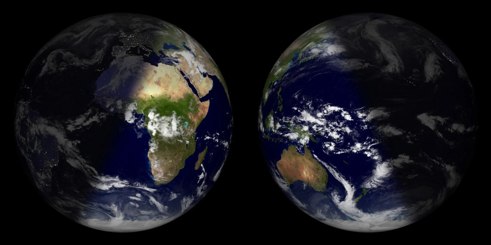
Hemisphere View
Any circle drawn around the Earth divides it into two halves called hemispheres. They are generally considered four hemispheres: Northern, Southern, Eastern, and Western.
The Equator, or line of 0 degrees latitude, divides the Earth into the Northern and Southern hemispheres. The Northern Hemisphere contains North America, the northern part of South America, Europe, two-thirds of the north of Africa, and most of Asia. The Southern Hemisphere contains most South America, one-third of Africa, Australia, Antarctica, and some Asian islands.
Compare this sunlight map with Hemisphere view, Rectangular View, Mercator View, or Mollweide projection on Google maps. Source: die.net.