Look at the sunrise and sunset worldwide in this real-time illustration of the earth’s patterns of sunlight and darkness. The clouds on this image are updated daily with real weather satellite imagery. Refresh your browser in 5-10 minutes for a map update.
Sunrises and sunsets worldwide are generated in real-time on Google maps.
The globe is an accurate representation of the earth. Provided it is large enough, all parts of the earth’s surface are represented in their actual shape, relative size, and shape. But, one of the most significant problems in making maps is how to draw tho curved surface of the globe onto a flat piece of paper. This is what is called projection.
The map projection is a systematic arrangement of meridians and parallels portraying the globe’s curved surface on a plane. Different types of map projection are used. This is because they are needed for various purposes. A suitable projection for showing countries near the Equator may not be so for showing the lands lying within the Arctic Circle.
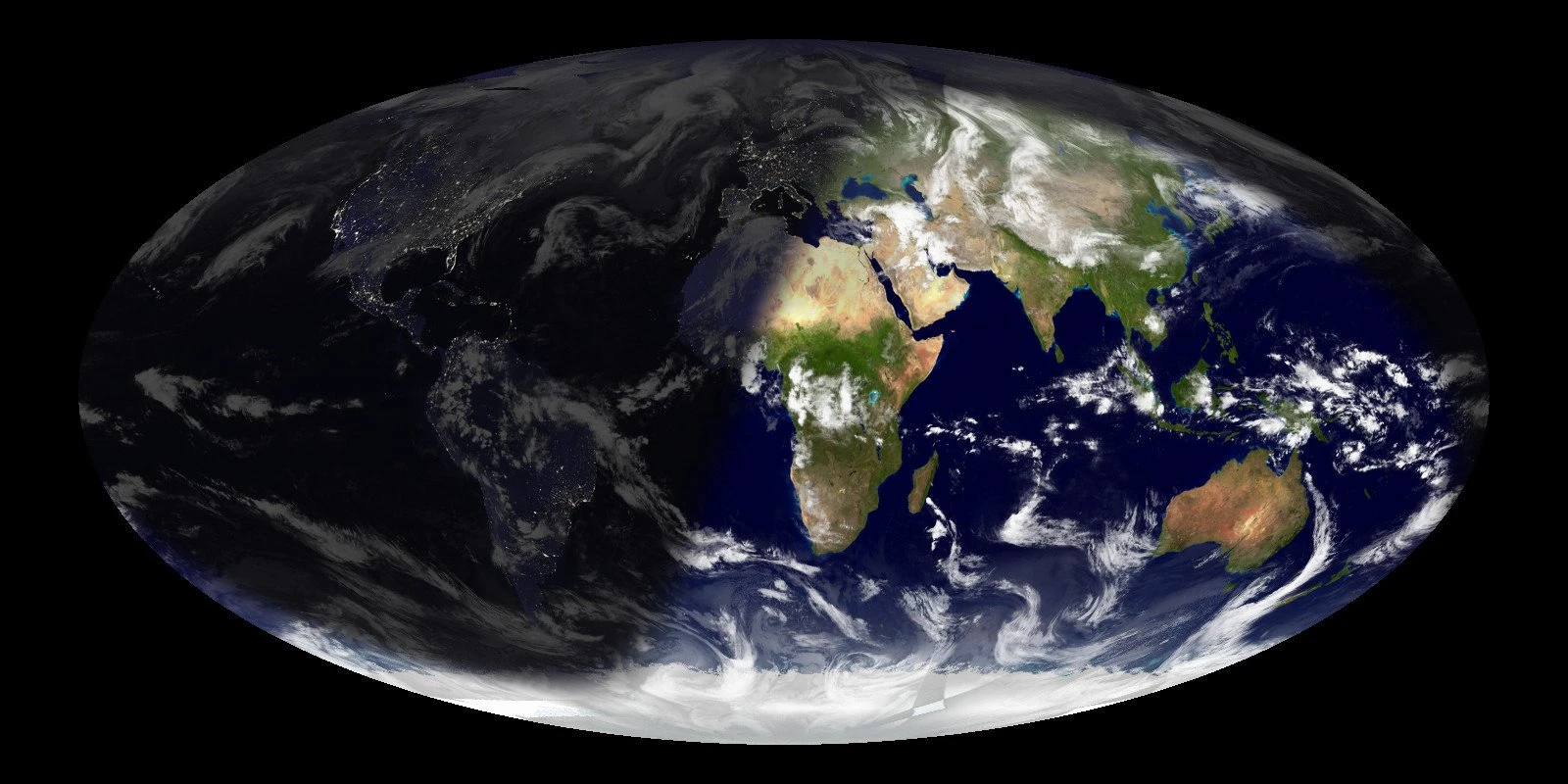
The Mollweide projection
The Mollweide projection is a map projection called the elliptical projection or homolographic equal-area projection.
Mollweide’s Projection can represent the whole world within one network and gives a better map. It is a good map because it shows the correct size of the places. It is an equal-area map and maintains the shapes reasonably well in the equatorial, tropical, and mid-latitude areas, for example. Australia is the correct size for North America, and Europe is the right size for Africa.
Compare this sunlight map with Hemisphere view, Rectangular View, Mercator View, or Mollweide projection on Google maps. Source: die.net.